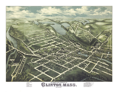
Clinton, MA in 1876 - Bird's Eye View Map, Aerial Map, Panorama Map, Vintage Map, Antique Map, Reproduction, Giclée, Framable Map, Fine Art
$21.00
Description
Full color fine art map of Clinton, MA in 1876. Brilliant colors, extremely fine detail.
Printed on heavy Archival Matte Photo Paper.
Available in several sizes.
I can print different sizes; please contact me if you desire a size not listed.
SHARE THIS


